

Notes:
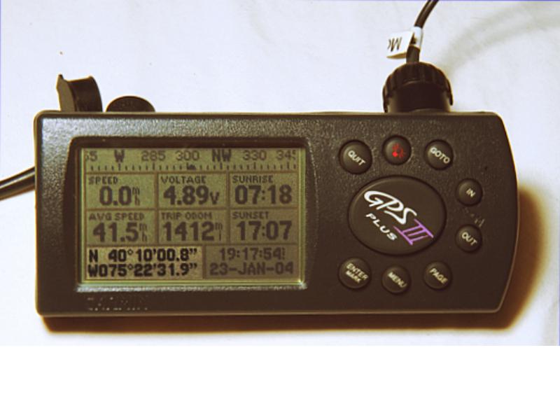
Yeiding the location the GPS reciever on the surface of the earth, or if enough satellites have been heard in three dimensions. A GPS reciever can display its location as latitude and longitude, UTM, OSGB grid, MGS, or other coordinate systems and can use any of a large number of different datums. Using the incorrect datum can result in a position error of up to around 500 meters in many parts of the world.


