AA3SD: Random thoughts on communications and software
AA3SD > Home

Presentations on the Amateur Packet Reporting System in emergency communications. Permission is granted to copy, distribute and/or modify these documents under the terms of the Creative Commons Attribution-ShareAlike License.
Establishing a disaster resistant APRS Infrastructure[open document presentation, 41MB]
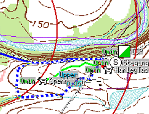
Where's that task team? Position mapping with xastir and amateur radio for Search and Rescue[open document presentation 51MB] [Exported Slides]
(APRS is a registered trademark Bob Bruninga, WB4APR)
[rather old] Learning to draw graphics with dojox.gfx